
As the fourth-highest peak in Washington State and a beautiful, remote objective, I always wanted to climb more than just the standard route on Glacier Peak. With a perfect weather window over an early-August weekend and a good friend and climbing partner willing to suffer a bit, it was time.
Adam and I drove out to the North Fork Sauk Trailhead on Saturday morning with open bivy gear, one axe and one light axe each, crampons, a 30m glacier rope, a few ice screws, a couple of pickets, trail runners, boots, and, perhaps most importantly, a good supply of whiskey. Our 3-day, lollipop plan was to hike 20 miles the first day to get near the start of the Kennedy Glacier, then climb the route and descend the Cool Glacier on the other side a good ways before camping again and then hiking out on the morning of the third day.
We left the car at 10am and hiked up the standard approach until we hit the PCT, where we took a left up to Red Pass. We ran into a number of through-hikers on the PCT and each of them was a bit surprised to hear we were there to climb Glacier Peak. We also ran into a soloist who said he’d started up the Kennedy Glacier, but turned around. It was a bit ominous hearing that as we marched our way North on the PCT.
The variety and amount of ground we covered this first day was pretty cool and we enjoyed it as much as we could despite the slowly-building pain creeping into our feet, shoulders, and hips. It was after 7pm when we made it to the tricky crossing of the Kennedy Creek. We just put our heads down from here and hiked up Kennedy Ridge to 5,300 feet where we expected to leave the PCT in the morning and saw a creek on the map, hoping there would be somewhere flat to bivy. We arrived at 8pm to find a nice little campsite with one other person, quickly set up shop, and conked out.
The mileage and vertical gain from camp to the summit didn’t seem to warrant an alpine start, so we woke up at 5am and were moving by 6am. Heading straight up from camp was exactly the right move and quickly put us on a large moraine overlooking the entire North side of Glacier. There were some old signs of traffic, but the area had the feel of being forgotten and much more remote than other big peaks in Washington.
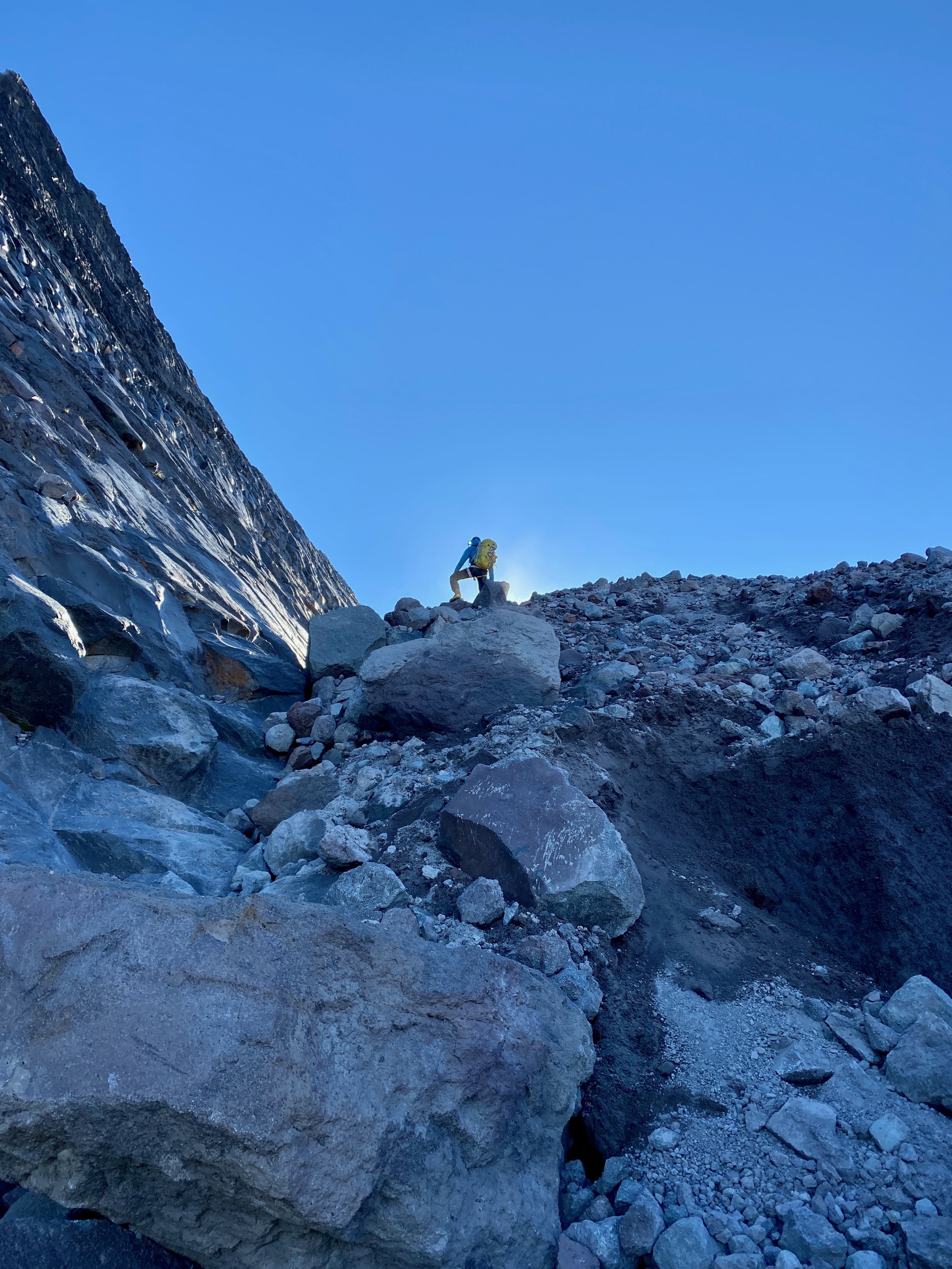
We switched from trail runners to boots at the toe of the Kennedy Glacier at 7:30am, keeping crampons on our backs to start since the snow was reasonably soft and there was a clear dirty, rocky band to get through on the glacier below Kennedy Peak. This section was perhaps the most dangerous of the route—it was a crumbling mess with big boulders waiting to succumb to potential energy, perched on glacial till. After gingerly getting through this bit, we were on the wide-open Kennedy Glacier with very little crevasse hazard on its left half.
Things were uneventful until we got to Frostbite Ridge itself. We could see the Rabbit Ears feature above us and our options were getting on a pumice treadmill up the ridge or staying on steep snow to the left. We opted to keep crampons on and stick to the snow. We stayed left past the first gendarme and on some of the steepest snow (~50 degrees) near the top, which went pretty easily with our second axes. The snow took us almost to the top of the face and then we scrambled a few feet to the highest point, just to the right of the highest gendarme (the Rabbit Ears themselves, it turned out) at 12:30pm.
From here, we could see the rest of our route and it looked like it would all go. We could also see our 3rd class descent to the upper Kennedy Glacier. It looked loose and nasty, but ended up being quite reasonable and quick. The first 50 feet up the snow on the other side were steep, but it eased off significantly from there and we romped our way up, across, then down to the saddle below the final face.
The face had the glimmer of ice to it, which was a welcome departure from walking. We determined the angle was low enough and the steep part short enough that it made more sense to solo than to pitch out. I set off and enjoyed settling into the flow of ice climbing despite the knuckle-bashing involved with straight-shaft axes. After the ice step of 40 feet or so, it was back to snow until the top, but it steepened up again right near the summit and made sense to front-point with both axes—quite fun to climb that way right to the summit. We arrived at 2:15pm.
The descent was straightforward and pretty efficient on sloppy snow. We never needed the rope and took our crampons off as soon as we were down the initial steeper sections. We descended all the way to the plateau at 6,750 feet where we found a nice spot to camp off snow with great views.
We got moving the next morning at 7:15am and were back to the car a little after noon. We stopped at the bottom of the switchbacks before the final flat slog out to consume most of the remaining whiskey and floated on a cloud of air most of the way back to the car.
This route had a more adventurous, remote, wild feel than lots of other climbing in Washington. In a way, it felt more like a destination climb I would have flown somewhere to do. Yes, the walking to climbing ratio was quite high and we never took the rope out, but it did bring some fun challenges, stellar views, and time way out there.