Adam and I had first paired up to ski the Boulder Glacier on Mount Baker car to car on March 30, 2024. We were too early for it—we had to park down the road a ways, skinned to the trailhead, had a painstaking time on and off snow on the trail, and eventually hit a wind slab at about 8,500 feet that turned us around. We agreed to come back later in the year, assuming some time in June would be about right. With the low snow year of 2026, we decided the beginning of May might perfectly thread the needle. We were right.
Knowing the East aspect of the mountain would warm up early, we drove up the night before and slept in the back of his truck until 3am. We were walking by 3:30am in trail runners. The trail went reasonably smoothly except for a brief moment at a stream crossing when we had to search for the right way to go in the dark. We found it eventually and slogged on until about 4,200 feet where we switched to skins and could put our headlamps in our packs about 2 hours from the car. A short ways brought us to the hand line and ridge-gaining scramble. It was a lot more straightforward this time not partially plastered with snow!
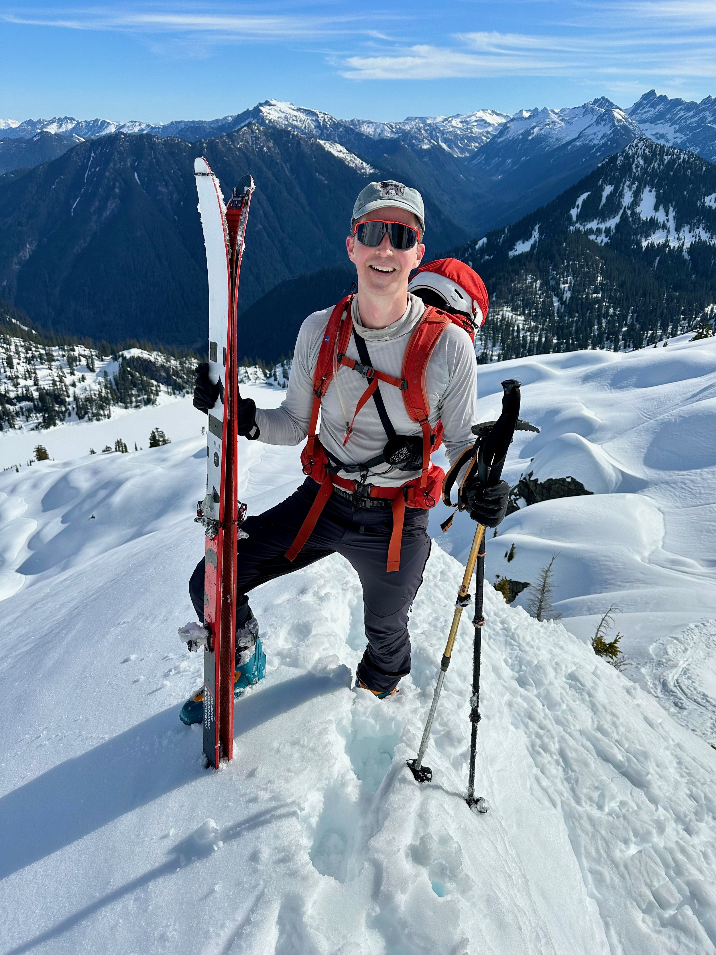
From the top of the ridge, it was smooth sailing. We caught up with another party of two and also briefly intersected with a party of ~6 who were spending a long weekend on the mountain doing a bit of a circumnavigation. The skies were dark and threatening around us in the morning, which gave us a bit of pause but also kept things reasonably cool. Some steep switchbacks at 8,500 feet got us past our prior stopping point. At about 9,500 feet, we decided that ski crampons would add some confidence for the steep traverse over to the saddle between Lahar Lookout and the summit at about 10,000 feet. We were glad to have the extra traction! It was around this time that the skies cleared up to a beautiful blue bird day.
From the saddle, it was just a series of switchbacks on a reasonably steep face that eventually relented as we arrived just below the summit knob. We skinned to the top right around noon to join a group of about 20 people sprawled about having their lunches. We joined the heap and fueled up quickly, wanting to get moving down the face before it heated up any more.
It was awesome to click into our skis right on the summit and begin our journey down from the very top at about 12:30pm. The upper bowl was pretty fun skiing with great views of the fumarole and Lahar Lookout. We then quickly traversed and enjoyed thick, buttery corn skiing all the way down the ridge. We thought about skiing down the glacier directly but decided the ridge would be just as fun and without crevasse danger.
The ski went very quickly. We were back down to the hand line descent in only 40 minutes from the top. We skied back down to our trail runners and then slogged out the trail, reaching the truck and all-important chips and beer at about 3pm for an 11.5-hour day. Thank you for the successful redemption tour, Adam! As before, we replenished calories at Double Barrel BBQ in Sedro-Wolley—a must visit in our humble opinion.